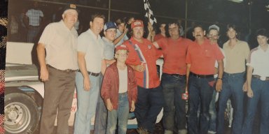
Bobby Williamson
Southern States Fairgrounds
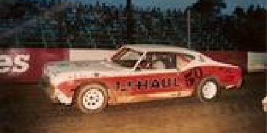
Charlotte NC's Southern States Fairgrounds Speedway was host of NASCAR GN and Convertible division events from the 1950's through the 1960 season and the opening of the Charlotte Motor Speedway
photo courtesy of djSnuffy
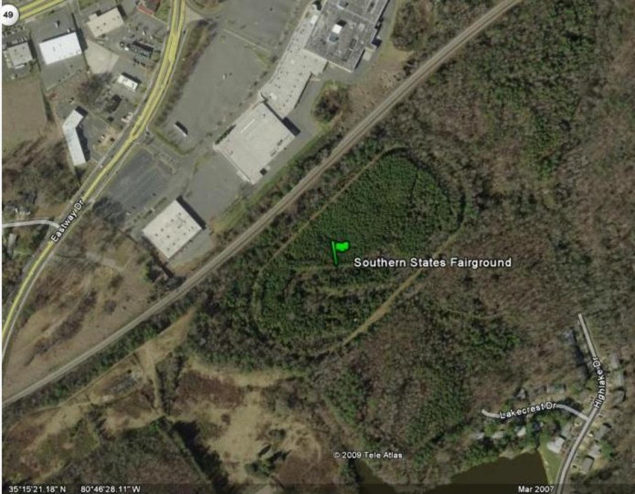
I think that you are wrong. The place you show is near Eastway Drive, just south of the railway and is called "Eastway Park". In the picture I show you here, the oval is not there until 1971 (no trace of a racing track until 1968).
The Southern States Fairgrounds was instead on east side of East Sugar Creek Road, just 250 yard south from North Tyron Street. The track was there in 1961 and seems to be abandoned in 1965. No trace of the track in 1968. That view is similar to 2012 one. The place of the track is now a huge parking lot for a supermarket.
And more information for the discussion continues -- gotta love it "memories"
I know this thread is old, but I went down a long Google tunnel looking up information about this old race track. I can tell everyone with 100% certainty that the above aerial is NOT the location of the old Fair Grounds. This is what the location looks like now: